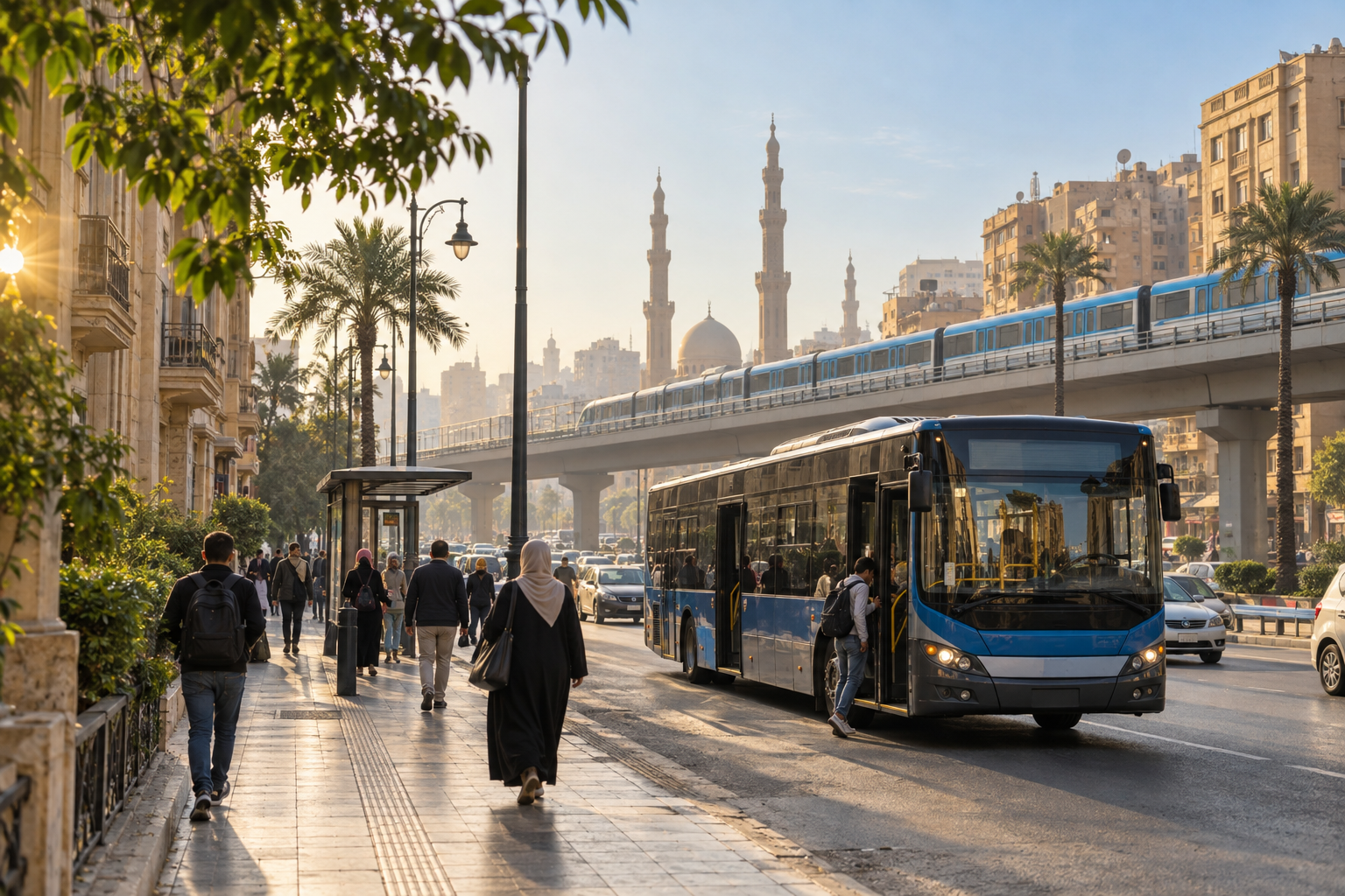
Quick answer: The easiest way to get around Cairo without a car is to use the Metro as your high-speed backbone, then complete shorter gaps on foot, by bus, or with a short ride-hailing trip. Build each journey around the nearest useful Metro station, allow extra time at rush hour, carry small Egyptian-pound notes, and check live conditions before leaving. For students and frequent commuters, a Metro subscription can reduce both cost and ticket-queue time.
Cairo can feel car-dependent when you first look at its wide roads and traffic, but many of the city’s most important districts, universities and landmarks are connected by public transport. The trick is not to search for one perfect vehicle from door to door. A reliable car-free journey usually combines two or three simple legs: walk to a station, take the Metro for the longest section, and use a short local connection at the other end.
This guide explains how to get around Cairo without a car in 2026, with a practical focus on the Metro, buses, microbuses, last-mile choices, current ticket information and the habits that make daily travel easier. Prices and operations can change, so confirm time-sensitive details through official channels on the day you travel.
The best car-free strategy for Cairo
Start by identifying the Metro station nearest to your origin and the station that gets you closest to your destination. Even when neither station is directly beside the address, the Metro can remove the slowest and least predictable part of a cross-city trip. The remaining distance is often manageable with a walk, bus, microbus or short taxi connection.
A useful planning order is:
- Choose the main corridor. Use the Metro whenever it covers most of the distance.
- Choose the last mile. Compare walking, a local bus and a short ride-hailing trip from the destination station.
- Add a buffer. Allow time for station access, transfers, queues and traffic on surface segments.
- Save a fallback. Know one alternative station or pickup point in case a surface connection is delayed.
This layered method is more dependable than attempting a long surface journey through several congested districts. It also makes the trip easier to understand: one predictable main leg, plus a short local leg.
Use the Cairo Metro as your main transport backbone
For many journeys, the Cairo Metro is the fastest and simplest place to begin. It avoids road congestion, uses station-based pricing and connects major interchange points, commercial areas, universities and railway links. The official Cairo Metro passenger guide identifies Sadat station for Tahrir Square and the Egyptian Museum area, Al Shohadaa for Ramses Square and Egyptian National Railways, Attaba for Downtown, Cairo University for the university area, Giza for onward connections toward the Pyramids, Mar Girgis for Coptic Cairo, and Opera for the Cairo Opera House and access toward Zamalek.
Two particularly useful interchanges are Sadat and Al Shohadaa, which connect Lines 1 and 2. Line 3 adds important east–west connections and links with other modes at major hubs. Instead of memorizing the entire network immediately, learn the few stations that anchor your regular journeys.
Cairo Metro fares in 2026
According to the Cairo Governorate’s official transport page, the public fare is based on the number of stations traveled. At the time of publication, the listed single-journey fares are:
| Journey length | Public fare |
|---|---|
| Up to 9 stations | EGP 10 |
| Up to 16 stations | EGP 12 |
| Up to 23 stations | EGP 15 |
| Up to 39 stations | EGP 20 |
These are time-sensitive figures. Check the official Cairo Governorate Metro ticket page before relying on them for a future trip. Buy the correct distance band and keep the ticket until you leave the destination station.
When a wallet or subscription makes sense
If you use the Metro repeatedly, reducing ticket-window friction can be as valuable as saving money. The official ticket page lists a rechargeable cash-wallet card for single journeys. It also lists monthly, quarterly and annual subscriptions, with pricing based on zones and passenger category.
Students should pay particular attention to the quarterly student subscriptions. The official page currently lists student prices from EGP 150 to EGP 300 depending on the covered zones. It says applicants should visit an eligible subscription office and provide the required documents, including identification and proof of study or tuition payment. The pass is issued for travel between the student’s residence station and study location. Requirements can change, so verify them before visiting an office.
Use buses and microbuses for coverage beyond the Metro
The Metro does not reach every neighborhood, so surface transport remains essential. City buses work best when you know the route and the stop closest to your destination. Microbuses can be frequent and direct on busy corridors, but they are less intuitive for a first-time rider because route information may be communicated locally rather than through a consistent published timetable.
For a smoother first trip, ask a trusted local person, campus security desk, hotel reception or shopkeeper which vehicle serves your destination and where to board. Confirm the destination with the driver or fare collector before getting in. Carry small notes and coins, keep your phone secure, and follow local boarding patterns rather than standing in the road or attempting to stop a vehicle from an unsafe position.
Surface fares and routes can change more often than Metro fares. Treat any fare seen in an old blog post or social-media comment as an estimate, not a guarantee. A good plan keeps a small cash buffer and an alternative connection in reserve.
Plan the last mile before you leave
The difference between an easy public-transport journey and a frustrating one is often the final kilometer. Before you board, inspect the area around your destination station. Check the walking distance, the side of the main road where you need to exit, whether a bridge or underpass is required, and where a safe pickup point is located.
Walking can be practical in compact areas such as Downtown, but distance alone does not tell the whole story. Heat, uneven pavements, major road crossings and luggage can turn a short map distance into a demanding walk. During hot months, favor shaded routes, carry water and avoid building a plan around a long midday walk. After dark, use well-lit, active streets and choose a short vehicle connection when the pedestrian route feels unclear.
Ride-hailing is most useful as a connector rather than the default for the whole journey. Taking the Metro across the city and requesting a short ride from a convenient station can reduce cost and exposure to congestion. Pick a visible pickup location away from a station gate’s busiest traffic and verify the vehicle details shown in the app before entering.
Useful Metro stations for common Cairo destinations
The official Metro passenger information highlights several stations that simplify popular journeys:
- Sadat: Tahrir Square, the Egyptian Museum area and Qasr El Nile Bridge.
- Al Shohadaa: Ramses Square and the main Egyptian National Railways connection.
- Attaba: a useful entry point for Downtown and an interchange with Line 3.
- Mar Girgis: Coptic Cairo, including the Hanging Church area.
- Opera: Cairo Opera House and an onward connection toward Zamalek.
- Cairo University: the university area and nearby districts.
- Giza: Giza railway connections and onward surface transport toward the Pyramids.
- Mansheyet El Sadr: access toward Ain Shams University.
- Helwan University: direct access for the university area.
Always confirm the correct exit once you arrive. Large stations may have several exits that place you on different streets, and choosing the right one can save a long road crossing or unnecessary detour.
How to combine modes for common journeys
Downtown Cairo to the Giza Pyramids area
Use Line 2 toward Giza and leave the Metro at a station that supports an onward road connection, commonly Giza. The Pyramids are not beside the station, so plan the second leg before departure. Depending on current conditions and your comfort level, complete it by an appropriate bus, microbus, taxi or ride-hailing service. Avoid accepting vague offers from unsolicited drivers; agree on the method and destination clearly.
Ramses station to Tahrir Square
From Al Shohadaa, Line 2 provides a straightforward connection to Sadat. This is a good example of a trip where the Metro removes uncertainty: both endpoints are served by prominent stations, and the surface walking segments are relatively short.
Cairo International Airport to central Cairo
Do not assume there is a direct Metro station inside the airport terminals. For a first arrival, the simplest option is often an authorized taxi or verified ride-hailing pickup to your accommodation. A more transit-oriented plan uses a surface connection to an appropriate Line 3 station and continues by Metro. Choose this only after confirming the current connection, your terminal and operating conditions, especially when carrying luggage or arriving late.
A recurring university commute
Start by finding the station serving your campus and testing the route outside your most important class or exam day. Record the realistic door-to-door time, including the walk and transfer. If the route works, compare single tickets with the relevant student subscription. A repeatable journey matters more than a theoretically faster route with several fragile connections.
Rush hour, comfort and personal safety
Cairo’s transport network is busiest around common work and university start and finish times. If your schedule is flexible, leaving earlier can reduce crowding and make unfamiliar transfers less stressful. Stand clear of train doors, let passengers leave before boarding, and move away from the doorway once inside.
Keep valuables zipped and close to your body, particularly in crowded stations and vehicles. Avoid displaying cash when paying; separate the small amount needed for the journey. Share your route or live location with someone you trust when traveling to an unfamiliar area. Women can use women-only Metro cars where provided, while still following platform signage because carriage positions may vary.
Accessibility varies by station and surface route. Travelers who need step-free access should verify lift availability and the condition of the complete journey rather than assuming every interchange is accessible. When in doubt, contact the operator or build a route around a station known to meet your needs.
A simple checklist before every Cairo trip
- Save the destination in both English and Arabic when possible.
- Identify the origin station, destination station and any interchange.
- Check the last-mile distance and choose a safe connection.
- Carry small Egyptian-pound notes plus a modest backup amount.
- Allow extra time for queues, transfers and surface traffic.
- Keep your phone charged and save essential details offline.
- Confirm current fares and operating information through official sources.
- Choose a fallback station or pickup point before leaving.
If you are new to multimodal planning, read SAYR’s step-by-step public transportation trip guide. For a deeper look at how software evaluates routes and transfers, see how an AI public transportation planner works.
Frequently asked questions
Can you live in Cairo without a car?
Yes, especially when your home, work or university is close to the Metro or a dependable surface corridor. The most practical approach combines the Metro for longer journeys with walking and short local connections. Your experience will depend heavily on the neighborhoods you travel between and the times you commute.
Is the Cairo Metro easy for visitors to use?
It is generally the most legible part of Cairo’s public-transport system because journeys are organized around named stations and lines. First-time visitors should save the destination station, note any interchange and confirm the exit. The official Cairo Metro website provides maps and passenger information.
How much is the Cairo Metro in 2026?
At publication, official public fares range from EGP 10 for up to nine stations to EGP 20 for journeys of up to 39 stations, with intermediate bands of EGP 12 and EGP 15. Verify the latest fare before traveling because prices can change.
What is the best way from Cairo Airport without renting a car?
For most first-time arrivals with luggage, an authorized taxi or verified ride-hailing pickup is the simplest choice. Travelers comfortable with transfers can connect by road to Line 3 and continue by Metro, but should verify the current airport connection and operating conditions first.
Do I need cash for Cairo public transport?
Carry cash, particularly small notes and coins, for tickets and local surface transport. Some services may support other payment methods, but cash remains the most dependable backup across a mixed journey.
The practical takeaway
Learning how to get around Cairo without a car is less about memorizing every route and more about building journeys around strong anchors. Use the Metro for the longest reliable segment, decide the last mile in advance, travel with small cash and a time buffer, and verify details that can change. After a few repeated trips, the network becomes far easier to read—and car-free travel can be both economical and predictable.