A route planner can show three ways across a city, yet leave you unsure which stop to use, whether six minutes is enough for a transfer, or what to do after getting off the bus. Those details determine whether a journey feels manageable or turns into a missed connection.
Sayr helps travelers enter a journey, compare public transportation routes, understand transfers, and follow step-by-step directions. The same planning method works whether your trip uses a local bus, commuter train, subway, or several modes together.
Quick answer: how to plan a bus and train trip
Use this sequence whenever you need to plan a public transportation journey:
- Enter your exact starting point and destination.
- Set the correct departure or arrival time.
- Compare complete routes, not only their estimated duration.
- Open each route and identify every walking segment and transfer.
- Confirm the correct stop, platform, direction, and service number.
- Check service alerts and accessibility needs before leaving.
- Follow the directions one step at a time during the trip.
- Recheck the route if a vehicle is delayed or you miss a connection.
We will apply those steps to one example throughout this guide: traveling from Terminal C at Boston Logan International Airport to Harvard Square. One practical option combines the Silver Line bus with the Red Line subway at South Station. It is a useful example because the journey starts inside a large airport, includes a mode change, and requires the traveler to choose the correct subway direction.
Enter exact locations to plan a public transportation trip
Start with the most precise origin and destination available. A neighborhood name is rarely enough. Large airports, universities, hospitals, parks, and stations can have entrances separated by a 10-minute walk or more.
For the Boston example, entering “Boston Logan Airport” may place the starting point at a generic airport marker. Enter “Terminal C, Boston Logan International Airport” instead. At the other end, “Harvard” could refer to Harvard University, Harvard Business School, or Harvard Square station. Choose the actual place where the trip should finish.
Precision affects more than the walking estimate. A planner may select a different bus stop, station entrance, or route based on which side of a building contains the destination pin.
Check the map pin before accepting a route
After selecting a place, inspect its position on the map. Confirm that the pin is attached to the correct terminal, entrance, street, or building.
If the destination is a meeting point, use the street address rather than the name of a large venue. For example, someone meeting a friend near the Harvard Square station entrance should plan to that entrance or a nearby business, not the center of Harvard University’s campus.
Watch for these common location errors:
- A pin placed at the center of a property instead of its public entrance
- Two businesses with the same name in different neighborhoods
- A station name shared by separate transit systems
- An airport pin that does not identify the terminal
- A destination on the opposite side of a highway, river, or rail line
Correct a bad pin before comparing routes. Every option generated afterward depends on those two locations.
Use your current location carefully
Current location is convenient when you are already outside and ready to travel. It can be less reliable inside airports, underground stations, shopping centers, and tall buildings.
If the location marker appears to drift, type the visible stop name or street address manually. At Logan Airport, terminal signs are a better reference than a phone location that appears on an access road.
Choose when you want to leave or arrive
Transit service changes throughout the day. A route that works at 2:00 p.m. may run less often at 11:30 p.m., and a commuter train available on Monday may not operate on Sunday.
Set the travel date and time before evaluating any option. Use “leave now” only if you expect to start walking within the next few minutes.
For an appointment, flight, class, or event, planning by arrival time is usually safer. Enter when you need to be at the destination, then inspect the proposed departure time. Add a personal buffer for an unfamiliar station, ticket purchase, mobility needs, or a connection you cannot afford to miss.
Suppose the traveler needs to reach Harvard Square by 3:00 p.m. Planning for an arrival at exactly 3:00 p.m. leaves no room to find the correct exit or walk to a nearby building. Set an earlier target, such as 2:40 p.m., if being late has consequences.
Allow for frequency, not just scheduled travel time
A 35-minute route may look better than a 42-minute route. That advantage disappears if the first service runs every 30 minutes while the slower option runs every 8 minutes.
Frequency also affects transfers. A missed connection to a frequent subway may add only a few minutes. Missing an infrequent bus or train could add half an hour.
Do not treat the displayed arrival time as a guarantee. It is a planning estimate based on the information available when the route is calculated. Weather, traffic, maintenance, and crowding can change the actual trip.
Compare bus and train routes before choosing one
Most planners rank routes by estimated arrival time, but the first result is not automatically the best choice. Open at least two reasonable options and compare the full journey.
For the Logan Airport to Harvard Square example, a route via the Silver Line and Red Line may compete with alternatives involving an airport shuttle, the Blue Line, and another subway transfer. A route with a slightly later arrival might still be preferable if it has fewer changes and clearer station access.
Use the following factors to compare options:
| Route factor | What to inspect | Why it matters |
|---|---|---|
| Total duration | Walking, waiting, riding, and transfer time | A short ride can hide a long walk or wait |
| Number of transfers | Every change between vehicles or lines | Each transfer creates another chance for delay or confusion |
| Walking distance | Distance to the first stop, between services, and after arrival | Weather, luggage, hills, and mobility can make short-looking walks difficult |
| Transfer margin | Time between scheduled arrival and departure | Tight connections are fragile when the first service is delayed |
| Service frequency | Expected time until the next bus or train | Frequent service makes missed connections easier to recover from |
| Accessibility | Elevators, step-free boarding, and accessible entrances | The nearest entrance may not be the usable entrance |
| Arrival position | Final stop and walk to the actual destination | Two routes can arrive on different sides of a large site |
Decide what “best route” means for this trip
The fastest route is useful when time matters and the journey is familiar. It is not always the easiest route.
A visitor carrying luggage through Boston may favor the Silver Line to Red Line option because it has one main transfer. A regular commuter traveling light might accept another change to save several minutes. Someone using a wheelchair needs to examine accessible station information before choosing either.
Think about the cost of failure. If missing one connection causes a long delay, choose a route with more transfer time or more frequent backup service. If bad weather is the main concern, choose less walking even if the ride takes longer.
Avoid comparing only the colored route lines
A route overview compresses the journey onto a small map. Two options can look almost identical while requiring very different actions.
Open the details. One route may ask you to walk through a station and board another line from a separate platform. Another might require leaving the paid area, crossing a street, and finding a bus stop with a similar name. Those are not equivalent transfers.
Read every transfer in your public transportation directions
A transfer is a short journey of its own. You must leave one vehicle, orient yourself, reach the next boarding point, and confirm that the next service travels in the right direction.
In the Boston example, the important transfer happens at South Station. The traveler leaves the Silver Line and follows signs for the Red Line toward Alewife. “Red Line” alone is not enough because trains use the same line in two directions. The destination or terminus shown on signs and train displays confirms the direction.
Break a transfer into four checks
First, identify where you get off. Note the full stop or station name and, when available, the stop sequence. Listening for announcements helps, but screen displays and station signs provide another check.
Second, identify the next service. Record the line name, route number, and direction. For a bus, the destination displayed on the front of the vehicle can distinguish two services using the same stop.
Third, inspect the walk between services. A planner may call it a three-minute walk, but that estimate may not account for crowds, elevators, long platforms, or an unfamiliar station layout.
Fourth, check the waiting time. If you arrive after the intended service leaves, determine whether another vehicle follows shortly. That tells you whether a transfer is forgiving or risky.
Understand same-stop and station transfers
Some transfers happen at the same curb or platform. Others use stops with related names that are physically separate.
“Transfer at South Station” might involve following signs inside the station complex. A bus-to-bus transfer could require crossing a multi-lane road. Read the walking instruction between the two ride segments instead of assuming the next vehicle departs beside the first one.
This is where many otherwise correct plans fail. The route is valid, but the traveler waits at the wrong platform or boards the correct line in the wrong direction.
Confirm fares, service alerts, and accessibility
A route can be operationally possible while still being unsuitable. Before leaving, verify the details that a general trip plan may not fully explain.
Check the local transit operator’s official information for fares, payment methods, planned maintenance, elevator outages, and temporary stop changes. For the worked example, the MBTA service alerts page provides current notices for subway lines, while its official trip information should be used to confirm local operating conditions.
Fare rules vary. Some systems accept contactless bank cards, while others require a transit card, mobile ticket, or ticket purchased before boarding. Transfers may be included only when the same payment method is used. Do not assume that a bus ticket covers a train segment.
Check accessibility for the entire journey
An accessible station at each end does not guarantee an accessible route between them. Verify the boarding stop, transfer station, platform, vehicle, and exit.
The Federal Transit Administration’s accessibility guidance explains the responsibilities of public transportation providers under the Americans with Disabilities Act. For a specific trip, the local operator remains the source for elevator status, boarding procedures, and temporary outages.
If you need step-free travel, inspect each transfer individually. Also consider how long an elevator route takes. The accessible path through a large station may be substantially longer than the stairs shown near the platform.
Know where route data comes from
Many journey-planning systems rely on standardized transit information supplied by agencies. The General Transit Feed Specification defines formats for scheduled routes and real-time updates, but the completeness and freshness of that data still depend on the participating transit provider.
That explains why information can differ between cities and services. A planner may have detailed platform data for one agency and only scheduled departure times for another.
Follow step-by-step bus and train directions
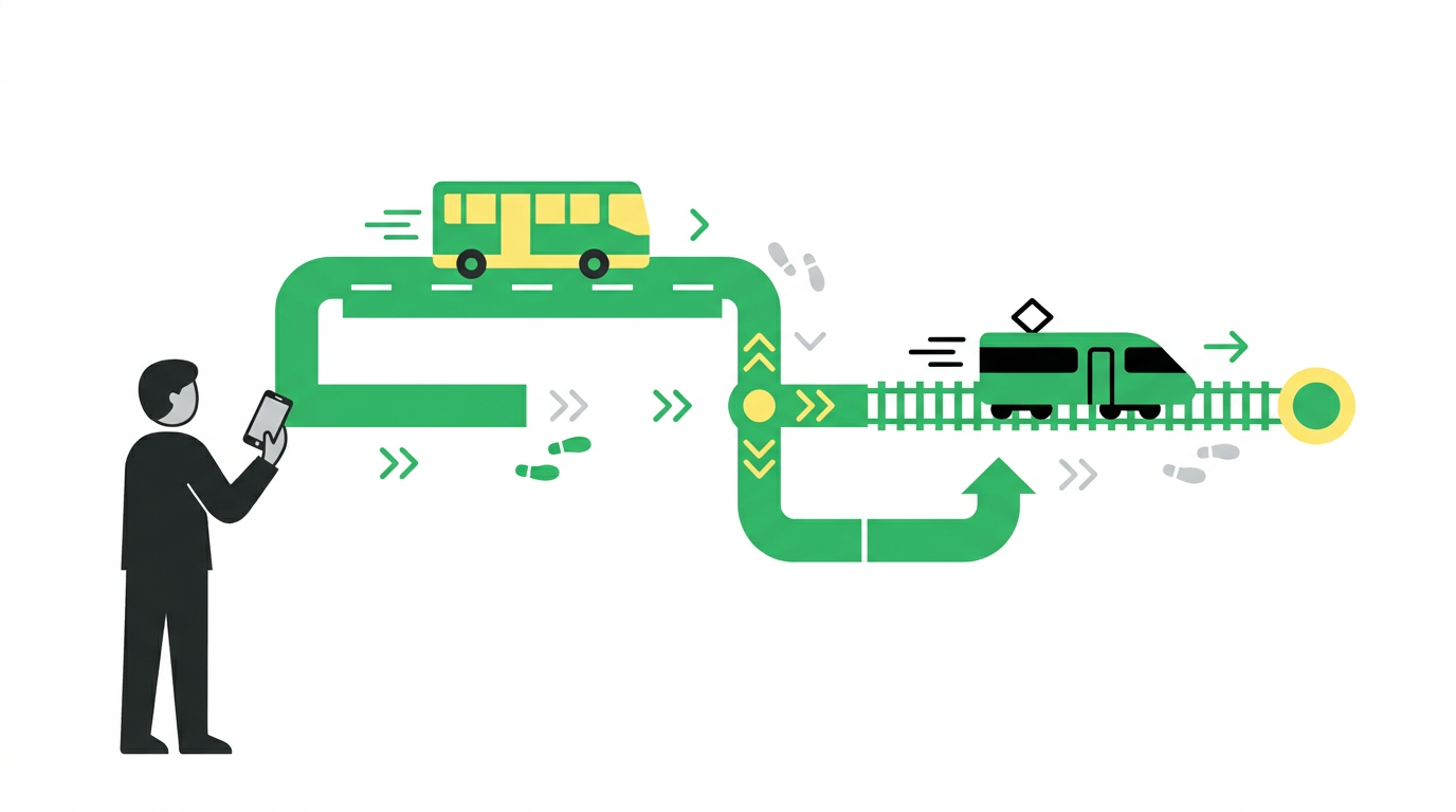
Once the route is selected, stop looking at the journey as one long instruction. Follow the current step while keeping the next one visible.
For the example trip, the sequence could look like this: walk from Terminal C to the marked Silver Line boarding area, board the service toward South Station, get off at South Station, follow signs to the Red Line, board toward Alewife, exit at Harvard, and walk to the selected destination.
Each instruction should answer four questions: what action comes next, where it happens, which service or direction you need, and when you should get off.
At the first bus or train stop
Match the physical stop with the directions. Look for a route number, line name, stop name, or platform designation. If several services use the same stop, confirm the display on the arriving vehicle before boarding.
Stand where you can see approaching route numbers. At a request stop, signal the driver if local practice requires it. Keep any ticket, transit card, or payment method ready.
If the displayed destination differs from the direction in your plan, do not board until you resolve the mismatch. Route branches and short-turn services can share a line number while ending at different places.
While riding
Track progress by stop names rather than elapsed minutes. Traffic can make a bus arrive later without changing the correct stop.
Keep the stop before yours in mind. On buses and some trains, request the stop when the preceding stop is announced or displayed. Gather bags before arrival, but stay secure while the vehicle is moving.
Avoid staring at the entire route continuously. Check at useful moments: after boarding, a few stops before leaving, and when an unexpected delay or diversion occurs.
After leaving the vehicle
Move away from the door before checking the next instruction. Then orient the map to your current position and find the next sign, platform, or street.
At South Station, the next task is not simply “take the Red Line.” It is to find the Red Line platform for trains toward Alewife. Confirm the direction on station signs before passing a point where changing platforms becomes inconvenient.
How Sayr helps plan a bus and train trip
You can perform this process by comparing timetables, maps, agency notices, and station information yourself. Sayr brings the core route-planning steps into one ordered journey, reducing the amount of information you need to hold in your head at once.
Start by entering the actual origin and destination in Sayr. For the worked example, use Terminal C at Boston Logan International Airport as the origin and Harvard Square as the destination rather than broad place names.
Next, review the available journey options. Compare their total time, transportation modes, walking sections, and transfers. If one option is a few minutes faster but includes an extra change, you can see that trade-off before choosing it.
Open the preferred route and inspect its sequence. The journey is divided into actions such as walking to the boarding point, taking a specific service, leaving at a named stop, transferring, and continuing to the destination. This makes it easier to spot the instruction that deserves extra attention. In this example, that instruction is the Red Line direction at South Station.
During travel, follow the route in order instead of reconstructing it from a map overview. Complete the current walking or riding segment, then move to the next direction. If the journey changes, return to the route choices and calculate the trip again from your actual position.
Sayr does not remove the need to read physical signs or check official service notices. It removes much of the manual work involved in turning several transportation legs into a usable sequence. Product updates and practical planning articles will also be published on the Sayr blog.
What to do when your public transportation plan goes wrong
Even a well-planned route can fail. The bus may be delayed, a station entrance may be closed, or you may board in the wrong direction. Recovery starts with identifying your actual location.
Do not keep following directions from the point where you were supposed to be. Update the journey using your current stop, station, or address.
If you miss a transfer, check the next departure for the same service before searching for an entirely new route. On a frequent subway line, waiting may be quicker and clearer than switching to an unfamiliar alternative.
If you ride in the wrong direction, get off at the next safe stop. Confirm which platform or stop serves the reverse direction, then recalculate. Avoid improvising a long walking route through an unfamiliar area solely to rejoin the original plan.
Common planning mistakes
Choosing a route with an unrealistically tight transfer is a frequent problem. A two-minute connection may work on paper while being impossible from the back of a crowded bus.
Another mistake is treating similarly named stops as the same place. Read the street, platform, or direction details.
Travelers also forget to recheck a route planned days earlier. Review it close to departure because construction and service changes may affect the original option.
Finally, do not let a low phone battery become the single point of failure. Charge before leaving. Save the destination address and key route details where you can access them quickly, and note the name of the transfer station.
How to choose between Sayr, Moovit, and Citymapper
Sayr, Moovit, and Citymapper can all be considered when you need digital help planning urban transportation. Coverage, interface, and available route detail can vary by city, so test the journey you actually need rather than choosing from a generic feature claim.
Enter the same origin, destination, and travel time into each service. Compare whether the results identify the correct entrances, show understandable transfers, and provide useful walking instructions. Check whether your local operator’s latest service change appears.
Moovit and Citymapper should be evaluated using their current apps and vendor information because their features and supported locations can change. Sayr is a practical fit for travelers who want to enter a journey, compare routes, examine transfers, and follow an ordered set of directions without piecing the trip together manually.
Frequently asked questions about planning bus and train trips
How early should I leave for a bus and train trip?
Add time according to the consequences of arriving late and the weak points in the route. For a casual trip on frequent services, a modest buffer may be enough. For an airport connection, appointment, or infrequent train, allow more time for walking, ticketing, waiting, and transfer delays.
Look at the frequency of each service. Missing a train that runs every hour requires a larger buffer than missing a subway that runs every few minutes.
Is the fastest public transportation route always the best one?
No. A slightly slower route can be easier if it uses fewer transfers, requires less walking, or has more frequent service. Compare the whole journey and choose according to luggage, weather, accessibility, familiarity, and the cost of a missed connection.
How do I know which direction to take on a train?
Use the destination or terminus shown in the route directions, then match it to station signs and platform displays. A line color or name is not sufficient because most lines operate in two directions and some have branches.
For the Boston example, a traveler going from South Station to Harvard looks for the Red Line toward Alewife. Harvard is an intermediate stop, so the platform sign may emphasize Alewife rather than Harvard.
Can I plan a public transit trip in advance?
Yes. Set the future date and either a departure or arrival time. Recheck the route shortly before leaving because schedules, disruptions, and stop locations can change.
Pay particular attention to weekends, holidays, late-night service, and planned maintenance. These periods often use different schedules or replacement buses.
What should I do if there is no internet during the trip?
Before departure, save the destination address, route numbers, transfer station, travel direction, and final stop. Screenshots can help, but make sure they include the date and time so an old plan is not mistaken for current information.
Continue to use physical station signs, stop displays, printed timetables, and staff instructions. If service is disrupted, official signs and announcements at the location may be more current than a saved route.
How do I plan public transportation with luggage or a stroller?
Prioritize fewer transfers, shorter walks, elevators, and longer connection times. Check whether the vehicles and stations on the route support step-free boarding. A route that is fastest for an unencumbered traveler may be awkward with a suitcase or stroller.
At airports, enter the terminal rather than the general airport name. At the destination, choose an entrance that you can reach without stairs when that information is available.
Can one trip include a bus, train, subway, and walking directions?
Yes. This is often called a multimodal journey because it combines several forms of transportation. Read the transition between modes carefully. The walking segment connecting a bus stop to a train platform is part of the route, not dead time between instructions.
A good plan shows each segment in order and makes the boarding service, travel direction, exit stop, and transfer walk clear.
Choose a route you can actually follow
A workable public transportation plan begins with exact locations and a realistic travel time. Compare routes using transfers, walking, frequency, and accessibility, then inspect every direction before leaving.
For a simple journey on familiar services, checking the route manually may be enough. For a trip involving an unfamiliar city, an airport terminal, or a bus-to-train transfer, use Sayr to compare the options and keep the directions in a clear sequence. Then verify time-sensitive alerts with the local transit operator and follow the journey one step at a time. Read next: What Is an AI Public Transportation Planner and How Does It Work?.